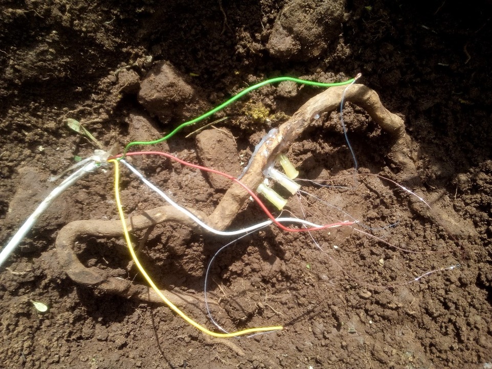
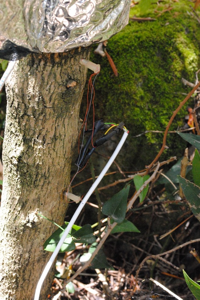
AQUEDUCT Study Site – Orroli (Flumendosa Basin, Italy)
The Orroli experimental site is a long-term ecohydrological observatory located in the Flumendosa Basin, Italy. Monitored continuously since May 2003, the site provides a unique dataset for studying land–atmosphere interactions, vegetation water use, and soil–plant–atmosphere processes in Mediterranean environments. It is a reference site for advanced water balance analysis and ecohydrological modeling within the AQUEDUCT project.

Vegetation and Water Fluxes
The site supports detailed partitioning of water fluxes, including:
These fluxes are analyzed within a heterogeneous landscape composed of multiple vegetation patches and rooting depths.
Water Balance Components
Water balance analyses are conducted at multiple layers:
Transpiration is partially controlled by rhizosphere moisture, enabling refined modeling of vegetation–water interactions.
Key fluxes include:
Transpiration is partially controlled by rhizosphere moisture, enabling refined modeling of vegetation–water interactions.
Modeling Approaches
The Orroli site supports advanced modeling activities, including:
These models are used to analyze water fluxes within heterogeneous rooting systems and to support water management and planning tools.